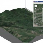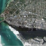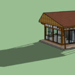
google earth

SketchUp Shadow Studies

Did you know that you can easily do this in SketchUp? It’s done with scenes. Here’s how I did this example.   Geo-Location First, I needed a geo-located model. This means a model that has a defined location. Why does location matter? Because SketchUp shadows are created based on where the model is. (Place a […]

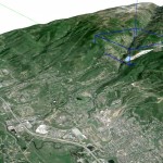
SketchUp Skelion Extension. High Rez Aerial with Location Selected

In Part 1 of this series, I showed how to use the Skelion extension to import terrain into SketchUp. This produces a much larger terrain area than what you could import using SketchUp’s Add Location tool, which imports data from Google Earth. While Add Location limits you to one square mile of imported terrain, Skelion is able to bring in […]

SketchUp Skelion Extension

Building SketchUp models in context, a.k.a. geo-location, requires reference information. Whether working on bridges, residences, commercial development, or parks, including the surrounding area is crucial for accuracy. This post is about Skelion, available in the Extension Warehouse. If you haven’t yet installed an extension from there, see our post on how to do it.   Add […]

SketchUp and Photoshop: Part 2 – High-Resolution Aerials

In Part 1 of this two-part series, I demonstrated how to link SketchUp with Photoshop (or any graphic editor), enabling you to seamlessly edit SketchUp textures and images. That post focused on editing tiling material images, such as grass or stone. This post is about geo-location: getting high-resolution aerial images from Google Earth Pro into SketchUp. Add Location In […]